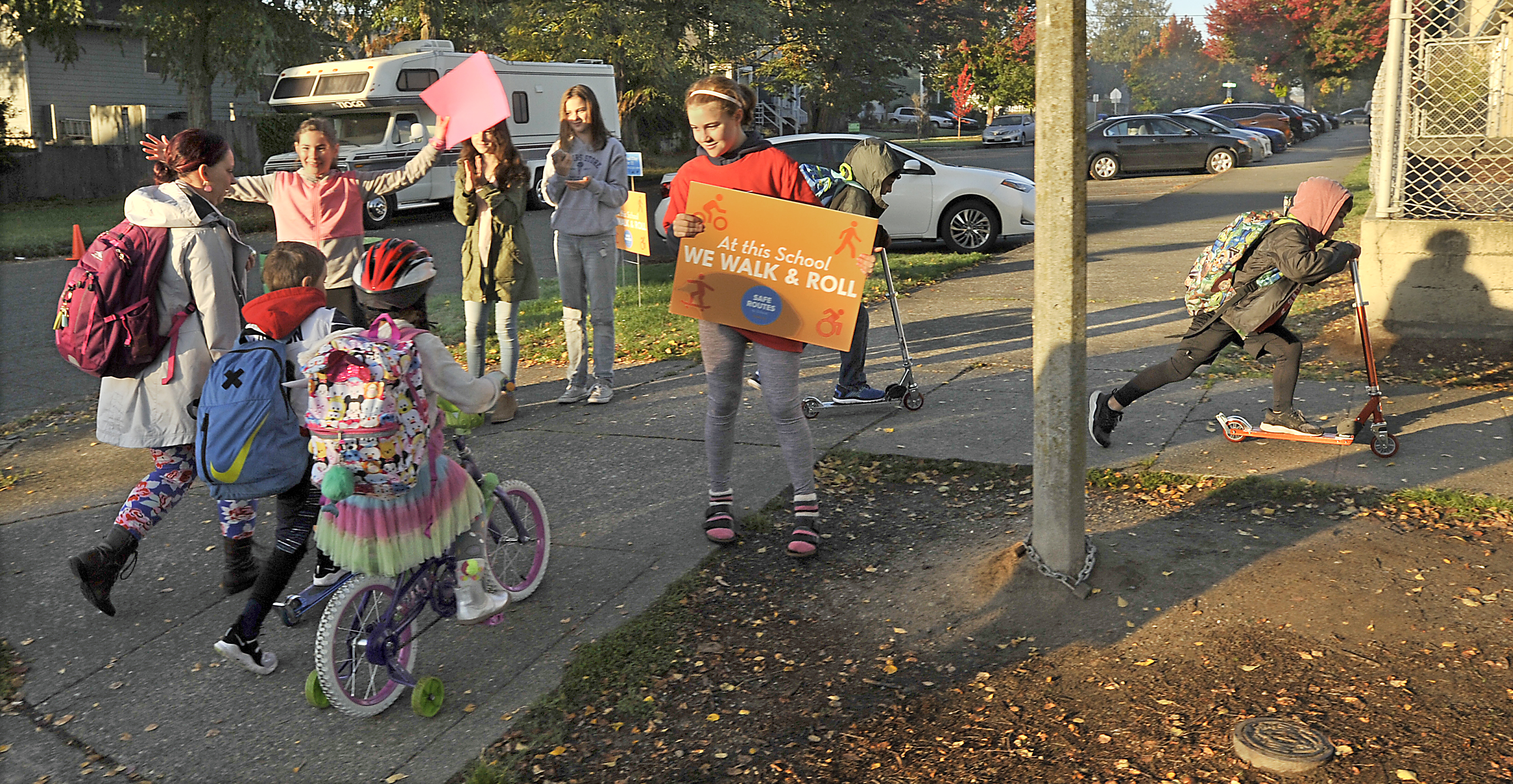
Suggested Walking Route Map Available for Each Tacoma Public Elementary School
A Suggested Walking Route map recommends walking routes to each Tacoma Public School (TPS) elementary school. Use your child's school map as a tool to explore walking or rolling to school. Adults are responsible for choosing the most appropriate route for their children.
-
Find the suggested route that is closest to your home and review it with your child.
-
Discuss the safety tips on the second page with your child - available in multiple languages!*
-
Go for a practice walk with your child along the suggested route on a non-school day, crossing at signalized intersections and at marked crosswalks where available.
-
Create your plan for the first school-day when you will give it a try: when you will leave the house, what clothing should you wear, and even what fun games can you play along the way (like the Pedestrian Safety Curriculum Site Walk).
Download the PDF of your school's map and safety tips.
Let's Get to School Safely Tip Sheets
Use these tip sheets to talk with your child, students, and adults about walking, bicycling, and driving safely to and from school.

About These Maps
The City of Tacoma and Tacoma Public Schools (TPS) partnered to create each TPS elementary school a Suggested Walking Route Map, as regulated through WAC 392-151-025. Each map shows:
-
The school's walk zone
-
Suggested routes with sidewalks and routes where sidewalks may be missing within a walk zone.
-
School designated crosswalks and other marked crosswalks.
-
Stop signs and traffic signals along suggested routes, except where marked as a school designated crossing.
-
Nearby parks and other schools.
-
Safety tips for people walking, bicycling, and driving on the second page.
Families with students at Tacoma Public Schools can learn about transportation options outside of walk zones at: tacomaschools.org/transportation.
A Suggested School Walking Route map recommends a walking route to school based on numerous criteria. Route maps do not show all possible routes. Instead, routes are prioritized using the following criteria:
-
Major crossings occur at signalized and/or marked crosswalks
-
Direct connection to school designated crossings or other preferred crossing locations
-
Direct connections to school entrances
-
Lower volume and lower speed roadways (less time on arterials, where feasible and with balancing other criteria)
-
Presence of complete, continuous sidewalks (where feasible and balancing with other criteria)
-
Presence of traffic calming, such as speed humps or traffic circles (where feasible and balancing with other criteria)
-
Presence of street lighting (where feasible and balancing with other criteria)